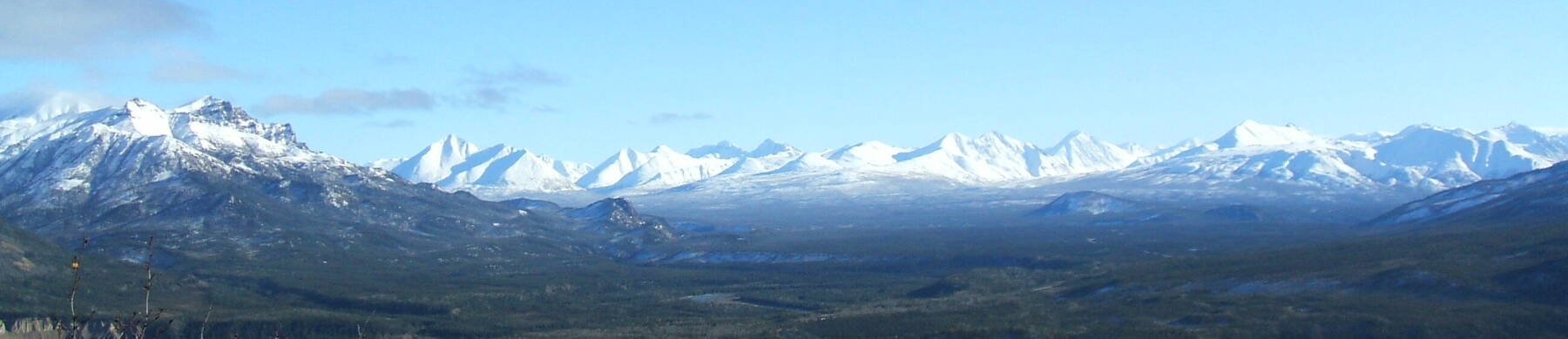
Alaska

Alaskan flag

I've just been to central Alaska once. I went to the University of Alaska at Fairbanks, to teach a Linux course and a Unix security course for the Arctic Region Supercomputing Center.

My on the summit of Mount Healy,
					Denali National Park, Alaska That's me at the summit of the Mount Healy Overlook Trail. 3.79 km, 605m elevation gain.

The view is east-southeast to the Alaska Range, about 60 km away.
Aurora as seen from Alaska Aurora!

This is the best one during the two weeks I was there.

1 Oct 2006, about 2200 local time. This is from within Fairbanks itself.

It is far brighter to the eye than it appears here, although not as green. Probably one of those strange tricks of human vision and CCD sensitivity.
Aurora as seen from Alaska Aurora as seen from Alaska
Aurora as seen from Alaska
Dalton Highway, Alaska

I drove north out of Fairbanks on the Elliot Highway toward the Dalton Highway.

About 75 miles north of Fairbanks you run off The End of The Pavement where the Dalton Highway, aka the "Haul Road", branches north off the Elliott Highway. The Dalton is all gravel-and-mud, most of it very bad, and the Elliott becomes gravel-and-mud as it curves to the west to end in a "town" that I suspect is rather hard to detect.

The Dalton/Elliott split is the very last pavement in that direction until you're past the pole and well into Siberia, unless the oil companies have paved something in their enclave in the northernmost 10 miles. But then "normals" as they call them can't drive into the last-10-mile ribbon anyway.

The signs become amusing as they really try to intimidate people out of venturing north unprepared.

Maximum northness:
65° 30.240' N 148° 44.643' W

A few miles north of this sign, up into the hills beyond.

It would have been another 120 miles of bad gravel to the Arctic Circle.

I did not even drive the 56 miles of bad gravel, shared with high-speed semis slithering all over it, to the Yukon Bridge. Figured I would be guaranteed to take a big rock to the windshield or bodywork, or worse.

Dalton Highway, Alaska Dalton Highway, Alaska
The Alyeska Pipeline, Alaska

The Alyeska Pipeline (yes, that's really its name) heading south from the Elliott/Dalton split.

A local told me about an Argentinian bicyclist.

He went to Tierra del Fuego and took the ferry to the big island just south of that. Rode to the southern tip of that island, then turned around and rode back north. Took said ferry back across the strait, and got back on the bike. Pedalled all the way up South America. Somehow got through the Darian Gap. Pedalled all the way up Central America. Mexico. The lower 48 US. Canada. Alaska. All the way up that 420 miles of really bad gravel of the Dalton Highway.

Got to the gate just 2-3 miles short of the beach. Asked the oil company nicely. Pleaded. Pleaded more. Groveled.

"No", the oil company said. "If we allow ONE Argentinian who pedalled his bicycle all the way from the southern tip of the island south of Tierra del Fuego to come in here and dip their tire in the Arctic Ocean, then we would have to allow in EVERY Argentinian who pedalled his bicycle all the way from the southern tip of the island south of Tierra del Fuego to here, and we clearly CANNOT start doing that! We are very, very, busy!!" And then they sent him home.

Lesson: Ask before you start pedalling.

Elliott Highway in Alaska October 1st in Alaska.

Along the Elliott highway, not far north of Fairbanks.
Elliott Highway in Alaska Elliott Highway in Alaska
Livengood, Alaska, just off the Elliott Highway The road off the Elliott Highway from near The End of The Pavement to the community of Livengood.

The coffee-table book idea: the variety of Alaskan  KEEP OUT  signage. There's an awful lot of it, given that there is so much uninhabited (and nearly uninhabitable) taiga.

Livengood, Alaska No structures are visible from the last 60 miles of paved road north of Fairbanks, just swampy birch and spruce. But there are a few "lanes", possibly navigable with tracked vehicles after the muskeg freezes and that's about it.

Pretty much all of those lanes have unique signs warning all and sundry to stay far away. Either clusters of store-bought signs, or more demented looking spray-painting on plywood scraps or on piles of barrels, or combinations thereof.

Cue the banjos. Or maybe balalaikas given the latitude and environment.
Livengood, Alaska Livengood, Alaska
Livengood, Alaska More views of Livengood.

This is the biggest town for something like 172 miles north from Fox (two saloons and a gas station), which is 10 miles north of Fairbanks.
Nenana, Alaska Driving south of Fairbanks toward Denali, I stopped at the town of Nenana (nee-NA-na, like ba-NA-na) on the Tanana (TA-na-na, not like BA-na-na) River. It's the biggest town by far on that 110-mile stretch.
Nenana, Alaska Note the combination district courthouse and barber shop. Very efficient.
Nenana, Alaska Nenana, Alaska
Stopped by Clear Air Force Station to see part of the anti-missile system that is supposed to keep Alaska from being hit by North Korean relatively long-range missiles. Home to the 13th Space Warning Squadron, assigned to the 21st Space Wing. It does early warning of ICBMs and SLBMs to NORAD, and space surveillance on orbiting objects.

Distant views of a large radome and a couple of VHF/HF over-the-horizon arrays. Impressive if you're an antenna geek. AN/FPS-120 SSPARS if you're an antenna nomenclature geek.

Otherwise it looks like The World's Largest Golf Ball and The World's Largest Fence.

Out in the taiga so it seems to be in the middle of Mother Russia. So it's The World's Largest Birch Forest growing out of The World's Largest Swamp.

Lots of spectacular scenery around here. Or at least I would say so. But then again I've always thought that the Trans-Siberian Railroad would be an interesting train ride. OK, so I have a thing for thousands of miles of swamp and birch and spruce.
Clear AFS, Alaska Clear AFS, Alaska, from a distance
Musk Ox, Alaska I did see some unusual livestock. UAF has a musk oxen farm.

However, the sign I saw along the Alaska Highway south-east of Fairbanks seemed to warn about bison attacking your combine harvester, not musk oxen.

 BEWARE THE COMBINE-ATTACKING BISON 
Musk Ox, Alaska Strange warning sign in Alaska
Between North Pole and Paxson, Alaska Then I got in my rental car and started driving like an uninformed Argentinian might pedal.

South-east through North Pole AK. It's SO overly sickeningly cutesy that it makes your pancreas ache, what with all the Santa kitsch. And if they did manage to entice some outsider to visit, then what are they going to patronize, the one Chinese restaurant, or the two welding shops?

Give me the scenery. I went on south-east to Delta Junction, which is strangely more modern and prosperous looking than Fairbanks, probably because the majority of its buildings are NOT disappearing into the muskeg and birch forests. Then south and south on the Infinite Highway toward Paxson, crossing the Pipeline again.
Between North Pole and Paxson, Alaska Between North Pole and Paxson, Alaska
Alaska Range, north of Paxson, Alaska Eventually this goes into the Alaska Range and heads toward the St Elias Range. There is some spectacular scenery.
Alaska Range, north of Paxson, Alaska Alaska Range, north of Paxson, Alaska
Alaskan roadhouse Finally I have to turn around and pound pavement back toward Fairbanks. Good thing there is effectively no speed limit in Alaska.

c = 300,000,000 meters/second is still a hard limit, but that's really about it.

I stopped for dinner at the roadhouse with the best food between Delta Junction and North Pole. Unfortunately, it is the ONLY roadhouse with food between those points, and only wins "best" by default.
Handy helicopter parking in Alaska It does, however, double as a helicopter refueling site. And so it features the best food of any combination all-season roadhouse and helicopter refueling site on the road between North Pole AK and Delta Junction AK.

On the way south there was a UH-1 Huey now in commercial service being refueled. It was parked much closer to the trees. Probably 5-10 feet from rotor tip to tree. I assume he landed closer to the road and scooted over in an almost-hover, but still quite impressive. I was too startled by the unexpected red-and-white Huey almost in the road to take the requisite snapshot through the windshield on the way south.

On the way back north there was a much smaller helicopter parked there for the night.
Back in Fairbanks it would be an evening at The Marlin, and a set or two by Gangly Moose.
The Marlin, in Fairbanks, Alaska The Marlin, in Fairbanks, Alaska

Back to the Travel Recommendations


Home Page Unix/Linux TCP/IP Infosec Travel Radio Site Map Contact
Use /bin/vi! Manipulate images with ImageMagick! Hosted on OpenBSD
Hosted on Apache Valid XHTML 1.1! Valid CSS!
© Bob Cromwell Jul 2009. Created with /bin/vi and ImageMagick, hosted on OpenBSD with Apache.    Root password available here, privacy policy here.