Yankeetown
Yankeetown
The Yankeetown Site is a prehistoric settlement along the north shore of the Ohio river a short distance east of Evansville, Indiana, and close to the Angel Mounds complex. The Yankeetown Site was home to a terminal Late Woodland settlement occupied approximately from 700 to 1100 CE.
Amazon
ASIN: 0820344982
Amazon
ASIN: 0521520665
Start by turning off US Highway 66 onto Yankeetown Road, continuing about 0.7 miles south to the modern town of Yankeetown.
Continuing south, the road becomes Warrick County Road 250 West. A half a mile further south, there is a parking area at the Little Pigeon Creek. Continuing across the iron truss bridge, the road changes to gravel.
It's almost a mile from the bridge through farm fields to the road's southern end at the Ohio river bank. It's gravel all the way, getting worse as you near the river.
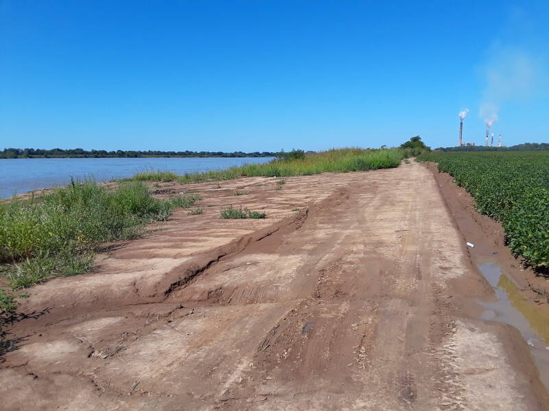 .
. At the river bank you could turn right onto County Road 875 South. Above we're at the end of Yankeetown Road, which became County Road 250 West, looking around the turn to the west down C.R. 875 West along the river. There's no more gravel, just dirt transitioning to mud as the track quickly becomes increasingly worse.
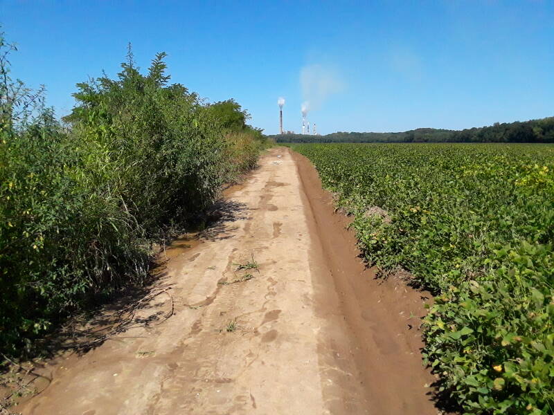 .
. I advise against continuing past that corner in a car! There is enough room to get turned around at the corner. As you continue west on 875 South, that road rapidly degrades. What you're seeing below is only about one-third of the way from the corner to what Google Maps shows as the end of this road.
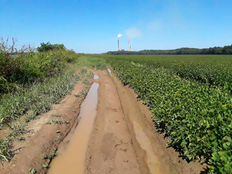
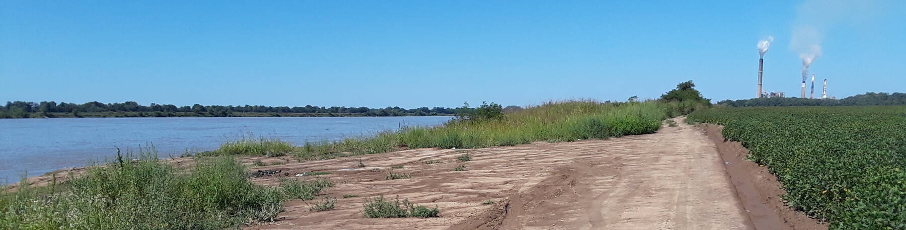
Above we see two electrical power plants ahead of us on the north bank of the river, both of them fueled by coal. The closer is the F.B. Culley Generating Station, putting out up to 369 megawatts. Just beyond it is the 775-MW Warrick Generating Station. Three of its four generators are owned by Alcoa, which uses the power in their adjacent aluminum plant.
In 2006 the Warrick plant was the third most polluting power station in the U.S. in terms of sulphur dioxide emission: 14.83 kg of SO2 for each MWh of electrical power, totaling 92,919 tons of sulphur dioxide over the year.
The Inhabitants of Yankeetown
A series of native groups had lived in this region for thousands of years. There is evidence for humans in Indiana as early as the Archaic stage of 8000–6000 BCE. These include hunting camps of the nomadic Clovis culture. The Early Woodland period of 1000 BCE to 200 CE produced the Adena Culture, which domesticated wild squash and produced pottery, large cultural advances over the earlier Clovis people.
The later Hopewell Culture was the first to establish permanent settlements in Indiana. Around 1 CE they were growing crops of sunflowers and squash. Around 200 CE they began to construct mounds which they used for burials and ceremonies. The Hopewell culture began to decline around 400 and had completely disappeared by 500. We don't know why.
Amazon
ASIN: 1598744518
The people hunted deer and other large medium to mammals using small triangular stone points on their arrows. Archaeologists have found large amounts of mussel shells, along with signs of maize (corn) agriculture.
Some of the pottery has distinctive incised and filleted decoration.
The ceramics were tempered with crushed pot sherds, making new pots with material from old ones as raw material. The Mississippian people improved upon this process by using burned and crushed mussel shells.
Amazon
ASIN: B00PIKPFWA
Archaeologists have found stone box graves. The graves show no indication of social status. No signs of mound construction have been found.
The Yankeetown people may have participated in what's termed "emergent Mississippian" development. Their stone tools and ceramics do resemble those of the Mississippian Culture. But there is no sign of the Mississippian social organization.
Continuing East in Space and Forward in Time
As you can seen, there is very little to see today at the Yankeetown Site. I had a room reserved that evening at Tell City, about 40 miles to the east. There are sites of much more recent history along the way. Let's see those.
Rockport was my first stop. It has a park along the Ohio river bank below the sandstone bluff upon which the town stands.
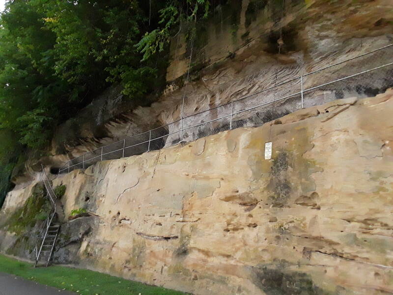
A metal ladder and worn sandstone steps lead up past a marker showing the high-water mark of the 1937 flood.
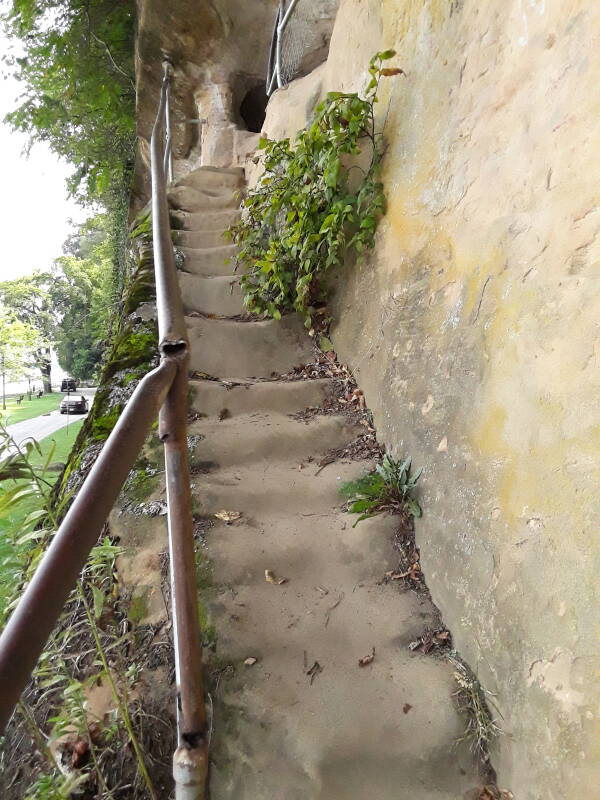
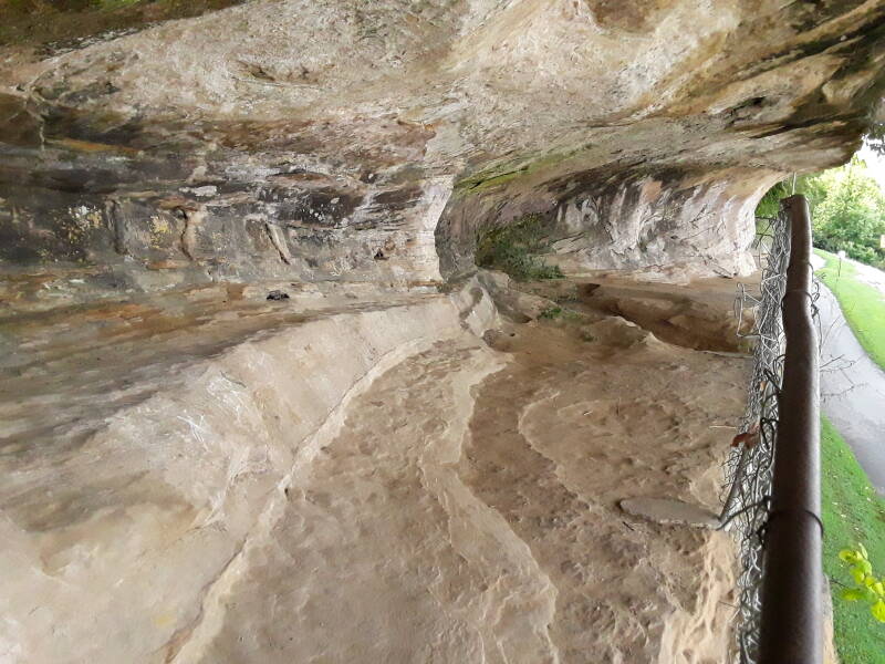
There are hollows up there in the face of the sandstone bluff.
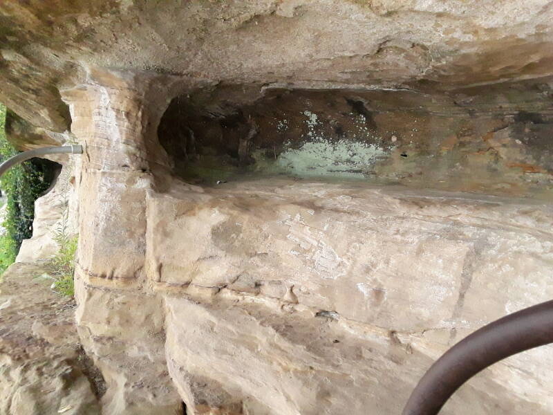
The hollows are called "caves", but as you can see there isn't much to them. However, they would provide a sheltered place to sleep, above even the highest flood. That is, as long as you didn't roll over in your sleep and plummet fifteen feet or more to the ground.
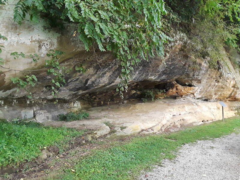
One of them at ground level has a nearby marker explaining that James Langford (or Lankford) and his family used it as a shelter around the year 1808, making them the first white family to live at the eventual site of Rockport.
HISTORICAL SITE — LANKFORD CAVE
At the age of 24, James Lankford (Langford) and his family
left their home in Stokes County, North Carolina probably
traveling through the Cumberland Gap across Daniel Boone's
Wilderness Road, the most direct route from North Carolina
to Indiana territory.
Tradition says when they came to the Ohio river they
made their way downriver by boat until they reached
present-day Rockport, Indiana.
Beginning in 1808, the Lankford family lived in a small cave
under the bluff overlooking the river.
The front of the cave was protected by boughs and bank with
animal skins stretched over the structure.
Lankford made an opening in the top for smoke to exit.
He purchased land in Grass Township, Spencer County
and lived there until his death in 1849.
He was a Methodist minister and helped establish the
Tippecanoe Methodist Church of Grass Township
which is now known as Bloomfield Wesley Chapel.
History books refer to him as a well-respected member
of the community.
Compared to the large and clean native town of Angel Mounds, their small hollow with its lean-to sounds pretty primitive and grim.
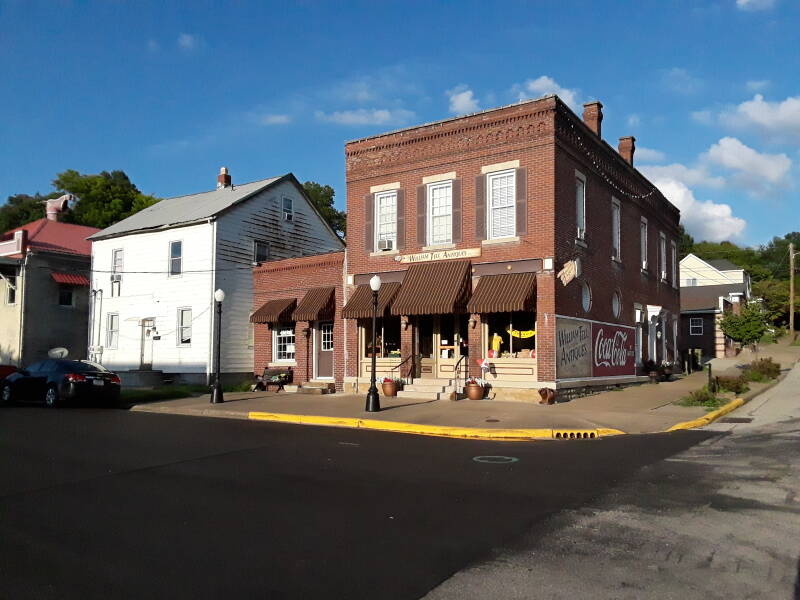
Troy
The Nestor House is in Troy, further to the east and closer to Tell City. It was built as the Union Hotel and grocery store for salesmen and other river travelers around 1863. Passenger traffic on the river had reached its peak in the 1850s. Troy was a stop for the packet lines running between Cincinnati, Louisville, Owensboro, and Evansville. After 1860 the railroads began to replace the river as the major form of passenger transportation. The railroad first reached the town of Troy in 1888. The line ran parallel to the river, just behind the hotel. It still does, you can see the crossing sign here.
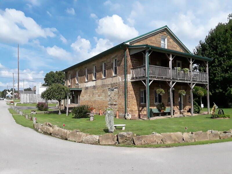
It's a 2-½ story sandstone block structure. A rear section was added in the late 1870s or early to mid 1880s. There's a two-tier full-façade porch facing the nearby river. It operated as a hotel into the 1930s, and as a boarding house for men in the 1940s and 1950s.
Cannelton
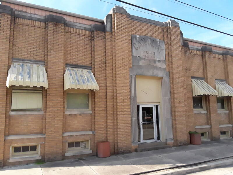
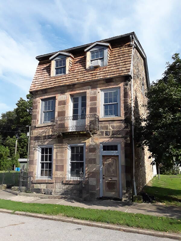
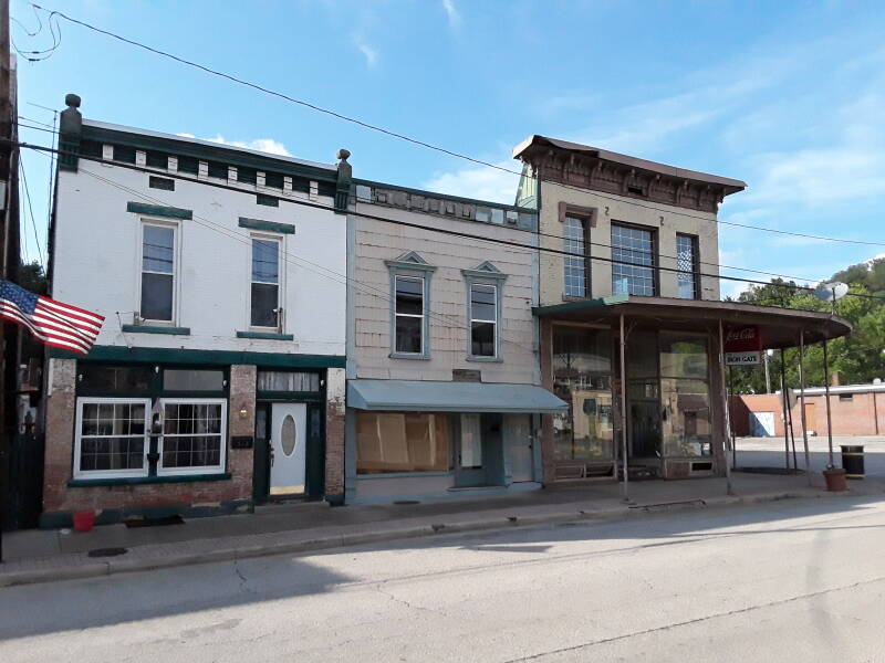
Continuing on to the east through Tell City, we soon come to Cannelton. Its historic district, listed on the National Register of Historic Places, contains many structures built between 1837 and 1936 in a variety of architectural styles. Many are built from the local sandstone.
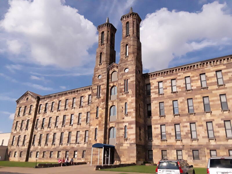
The Cannelton Cotton Mill was built in 1849. It was intended to be a strong rival to the textile milling industry of New England. It was the largest industrial building west of the Allegheny Mountains. It's 280 feet long, 60 feet wide, with two 100-foot towers.
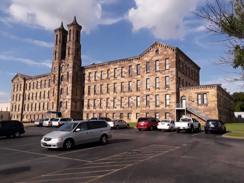
The mill initially employed about 400 workers, most of them women and girls, many of them brought from England where they had gained mill experience.
Each year the mill produced over 200,000 pounds of cotton batting and four million yards of cotton sheeting. The river, just a few blocks away, transported the raw material in and the finished products out.
The mill manufactured Union Army uniforms during the Civil War and items for both World Wars. It closed down in 1954 and began decaying. It was converted to a 70-unit low-income apartment complex in 2003.
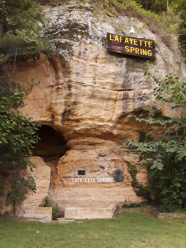
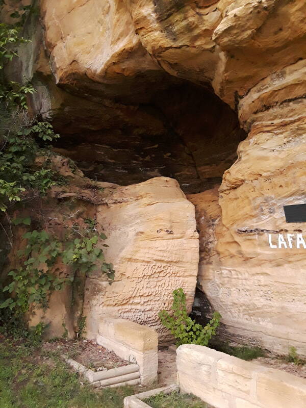
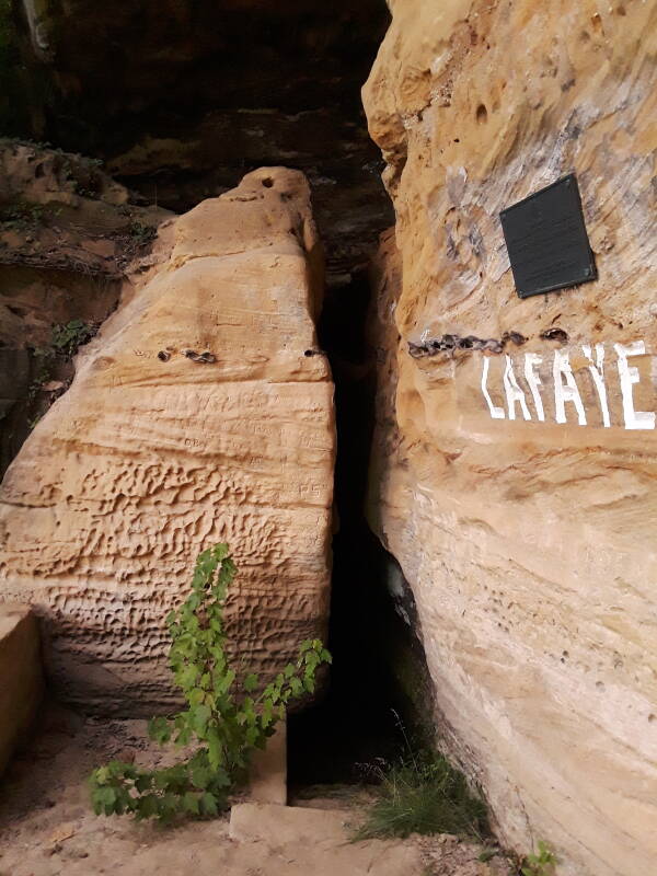
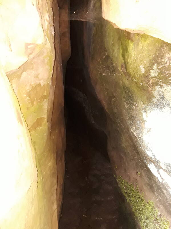
Lafayette Spring
A short distance east of Cannelton the road passes Lafayette Spring. General Lafayette of France, America's ally in the Revolutionary War, returned to the U.S. in 1825 for a farewell tour, visiting every state at the time.
Their steamship the Mechanic was en route to Louisville when it sank in the Ohio river on May 9, 1825. Lafayette and his party spent the night here. Around midnight, during a heavy rainstorm, the boat struck a rock outcropping on the Indiana side and sank in a short time. No one died, but Lafayette's carriage and his desk containing $8,000 and valuable papers were lost. Lafayette fell into the river as he was being assisted into a lifeboat, but was rescued by deck hands. The next day they left on the Paragon, a passing steamer. It was headed downstream, but the captain agreed to return to Louisville with Lafayette and his party.
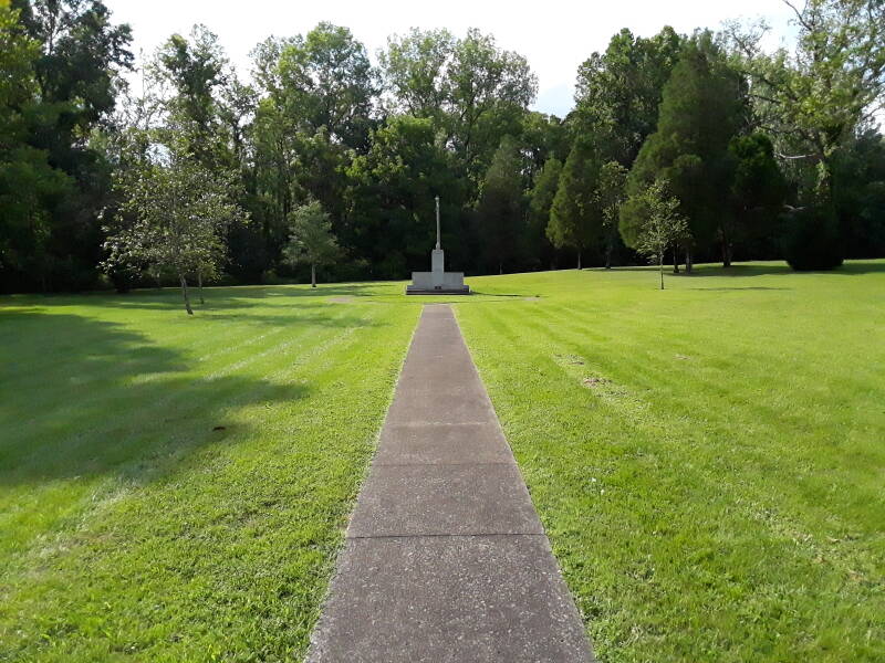
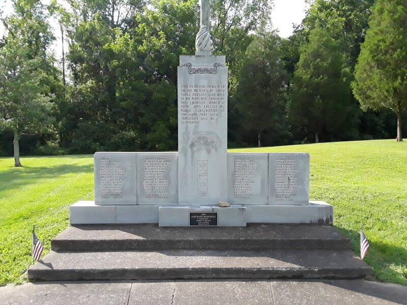
Northwest Orient Flight 170 Crash Site
Northwest Orient Flight 170 was a regularly scheduled flight from Minneapolis to Miami with a stop at Chicago's Midway airport. On March 17, 1960, the flight was using a Lockheed L-188 Electra which broke apart in flight over Perry County, a few miles east of Cannelton. All passengers and crew were killed.
The L-188 was the first large 4-engine turboprop airliner built in the U.S. On September 29, 1959, a Braniff L-188 crashed in Texas, also with loss of all passengers and crew. The Civil Aeronautics Board determined that both crashes were caused by weak engine mounts. The gearbox mount cracked, the engine began oscillating, and mechanical resonance broke the wing apart.
The memorial lists all the passengers and crew, along with religious symbols representing all those on board. One is a Dharmachakra or Wheel of Dharma, a Buddhist symbol. That's because one of the passengers was Chiyoki Ikeda. Born in 1920 in Honolulu with dual US-Japanese citizenship, he had renounced his Japanese citizenship in September 1940. During the Chinese Civil War he had served behind enemy lines in China for the Office of Strategic Services, the forerunner of the CIA. He joined the CIA in 1954 as an operations officer in the Directorate of Plans (now the National Clandestine Service) in its Far East Division. He was a training commander at the time of the crash.
Lockheed recalled all L-188 aircraft for modification. The design evolved into the P-3 Orion, an anti-submarine and maritime surveillance aircraft originally developed for the U.S. Navy. Its replacement, the P-8 Poseidon, a Boeing 737 variant, entered service in 2013, at which point the P-3 had been in service for 51 years. The last P-3C left U.S. Navy active duty service in 2020, with two Navy Reserve squadrons and the Air Test and Evaluation Squadron 30 continuing to fly it until 2023. The Chilean Navy planned to continue flying their P-3s past 2030 by changing the wings and modernizing the engines.
The Cannelton Locks and Dam is between Cannelton and Tell City, at river mile 720.7 downstream from Pittsburgh. The main lock is 110 by 1,200 feet, and it normal water levels it's a lift of 25 feet.
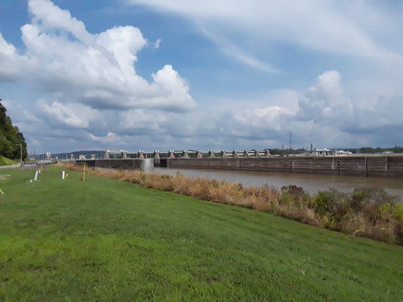
The U.S. Army Corps of Engineers built these dams and locks to help shipping by providing a reliable navigation depth. They weren't intended for flood control, or power generation. This one was built in 1963–1974. However, in 2009 a project began constructing an electrical generating station here. When it's finished, it will have a capacity of 84 MW.
The next one downstream is the Newburgh Lock and Dam, at river mile 776 near the Yankeetown Site and Angel Mounds.
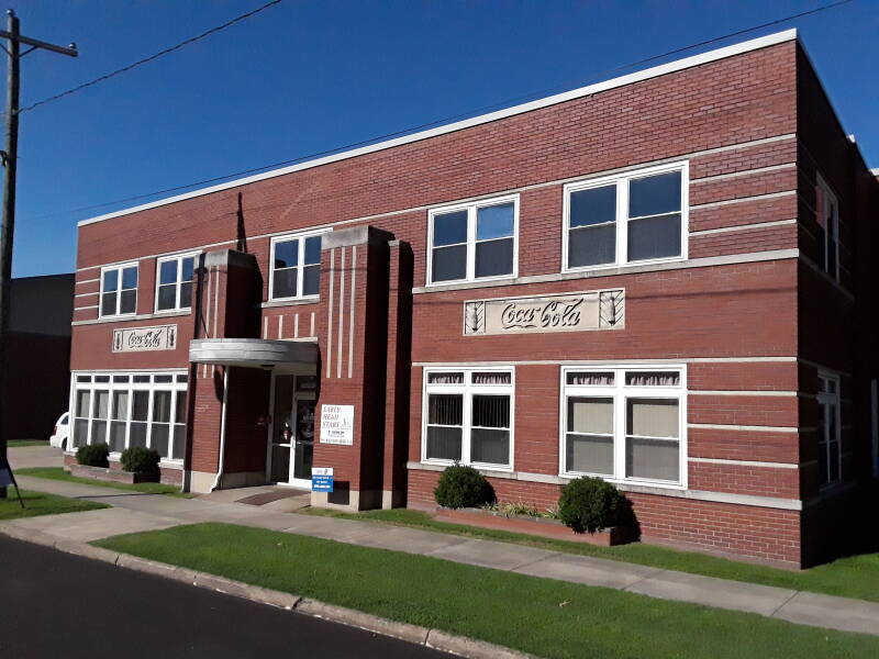
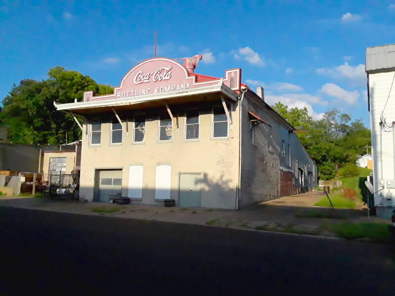
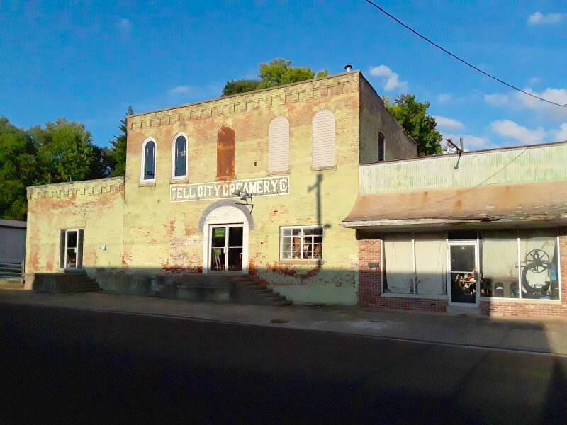
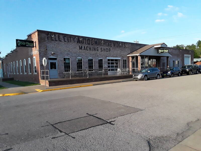
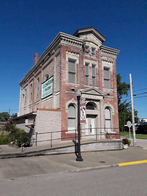
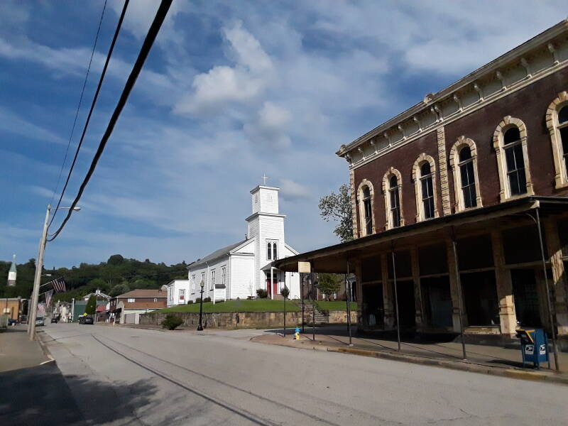
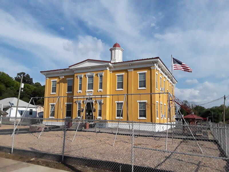
Tell City
Tell City was founded after a meeting of Swiss-German immigrants in Cincinnati in November, 1856. They organized the "Swiss Colonization Society", aiming to obtain affordable homes for shopkeepers, mechanics, factory workers, and others where they could live in a largely Swiss town. They bought land along the Ohio river in Perry County, Indiana, in July 1857. They were going to call the town Helvetia, but they decided to name it Tell City after William Tell. A hero instead of a font. There are some interesting old business and industrial buildings in town.